• Skip to primary navigation
  • Skip to content
  • Skip to footer
Kristina Liv Larsen
  • Posts
  • Tags
  • About Me
  • Links

    Map Librarian / Artist / Teacher focused on user-centered design, informal learning in GLAM, new uses for old maps, collaborative interdisciplinary problem-solving, and the interplay between technology and culture.

    • Photography
    • Twitter
    • GitHub
    • Instagram

    Using an Allmaps IIIF layer in Leaflet

    Using an Allmaps Georeferenced IIIF map image in a Leaflet Map

    (It’s here)

    Original Map

    Click map to view on DavidRumsey.com Map of the City and County of San Francisco 1864

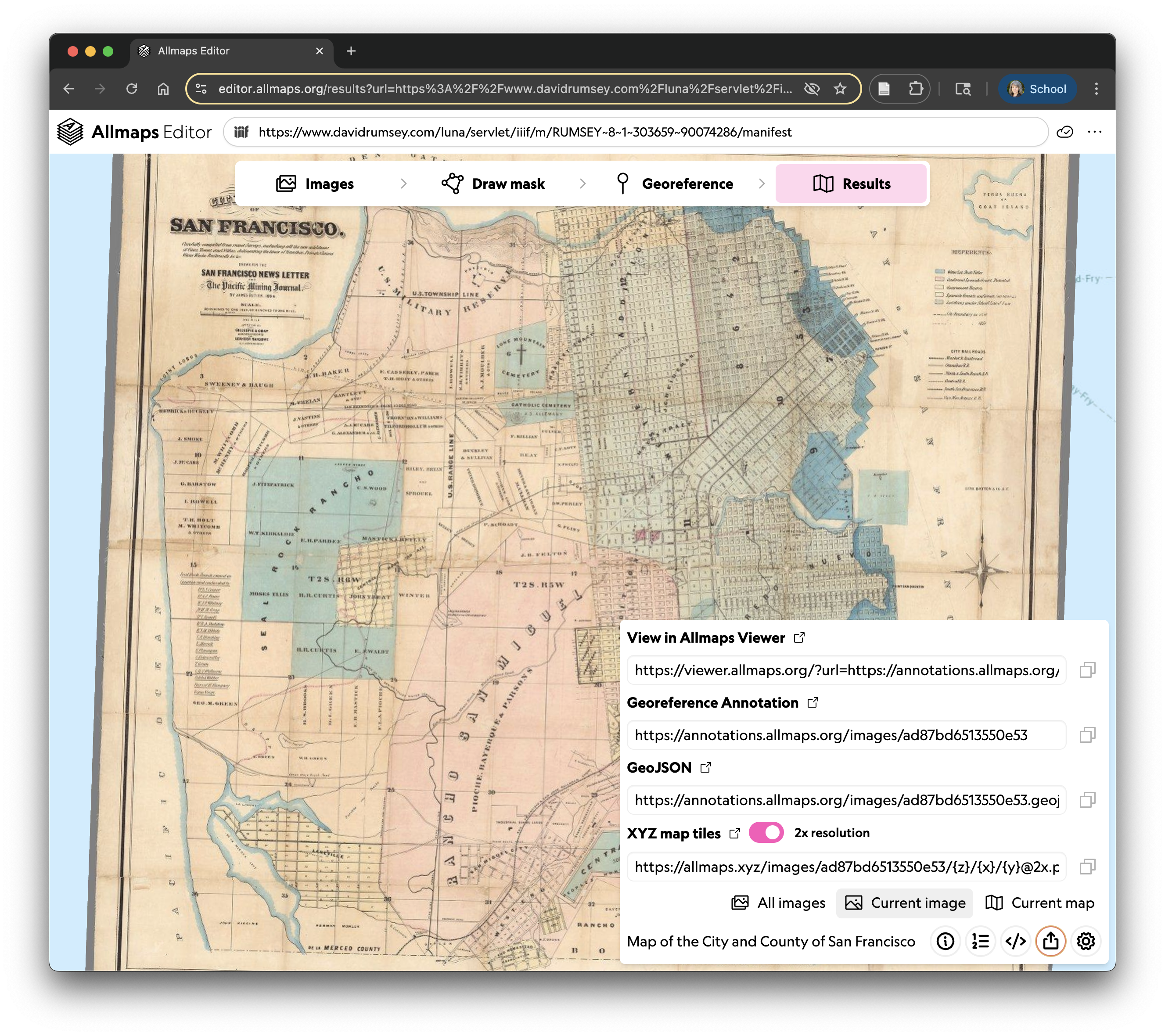
    In AllMaps

    Click map to view in Allmaps Editor Map of the City and County of San Francisco 1864 in Allmaps Editor interface
    Tags: iiif, maps, teaching

    Updated: June 30, 2025

    Previous Next

    You May Also Enjoy

    Topynym Extraction Workflow

    A step-by-step guide with screenshots This document provides a step-by-step guide for extracting toponyms from historical maps using various tools and platf...

    Topynym Extractor

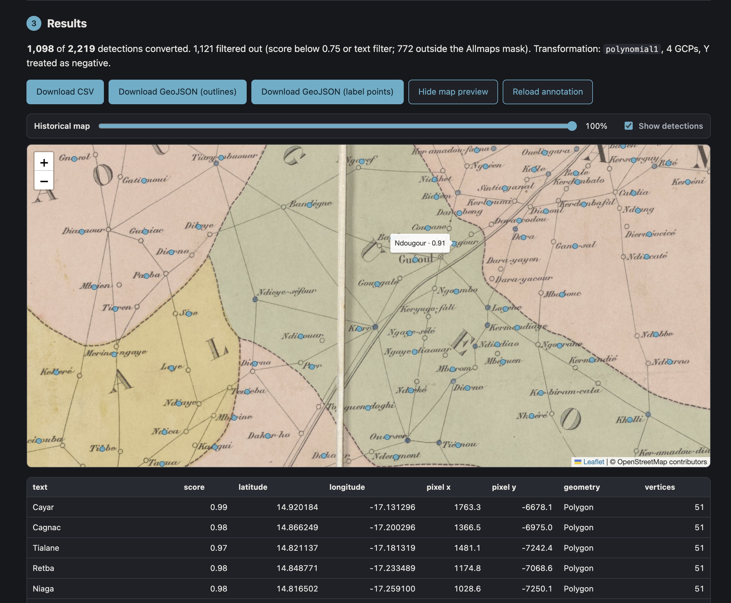
    Deriving lat/long coordinates from pixel-based text annotations

    Updated Image Gallery Builder

    A no longer new but definitely improved IIIF Image Gallery app

    The future of librarianship is collaborative

    Building a culture of feedback, reflection, and continuous improvement
    • Twitter
    • GitHub
    • Instagram
    • Feed
    © 2026 Kristina Liv Larsen. Powered by Jekyll & Minimal Mistakes.