Slides: Making historic maps relevant
Presentation Slides
From a lightning talk about teaching strategies for connecting historical maps to contemporary scholarship.
Delivered at Stanford University on October 9, 2024

From a lightning talk about teaching strategies for connecting historical maps to contemporary scholarship.
Delivered at Stanford University on October 9, 2024
A step-by-step guide with screenshots This document provides a step-by-step guide for extracting toponyms from historical maps using various tools and platf...
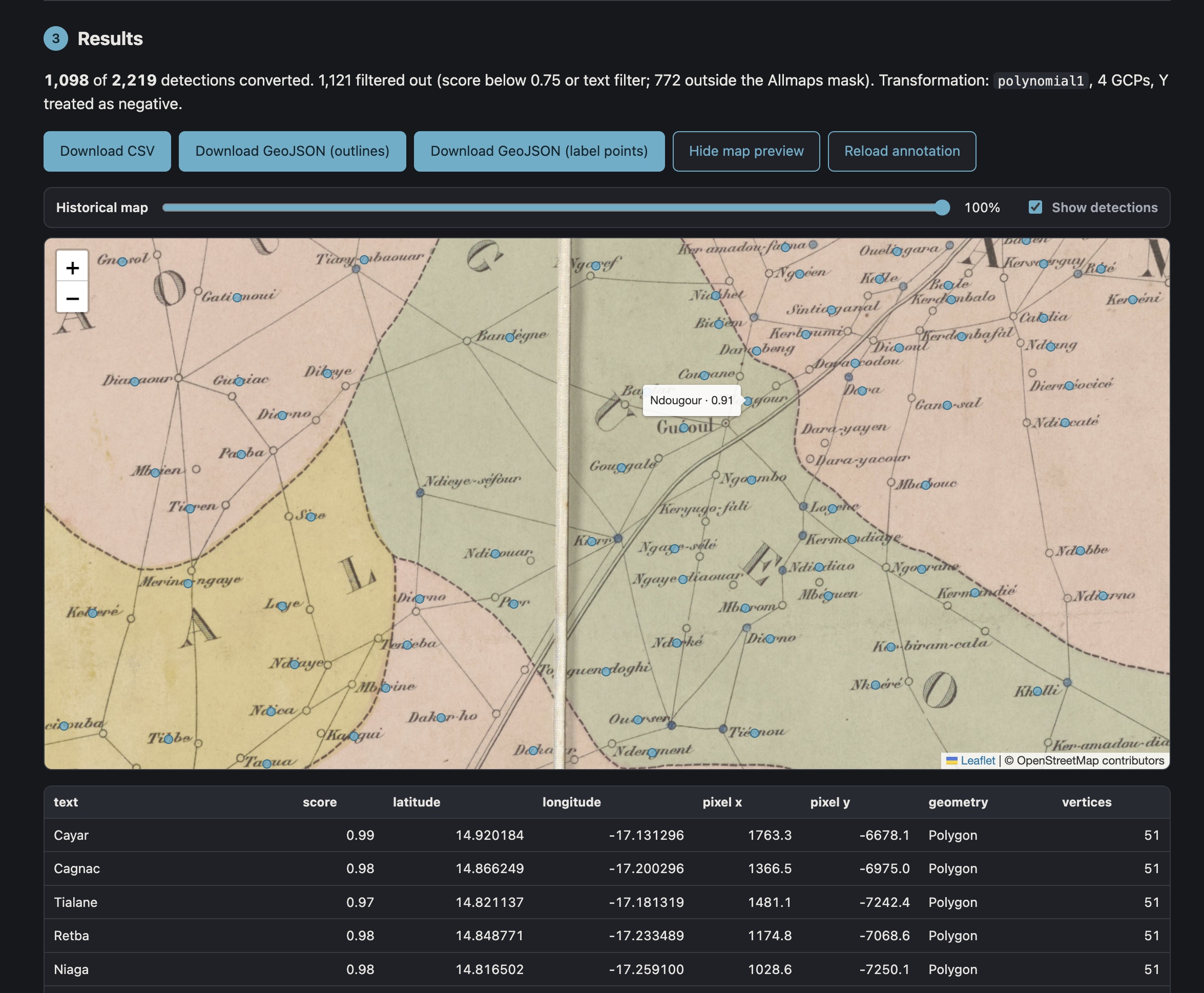
Deriving lat/long coordinates from pixel-based text annotations
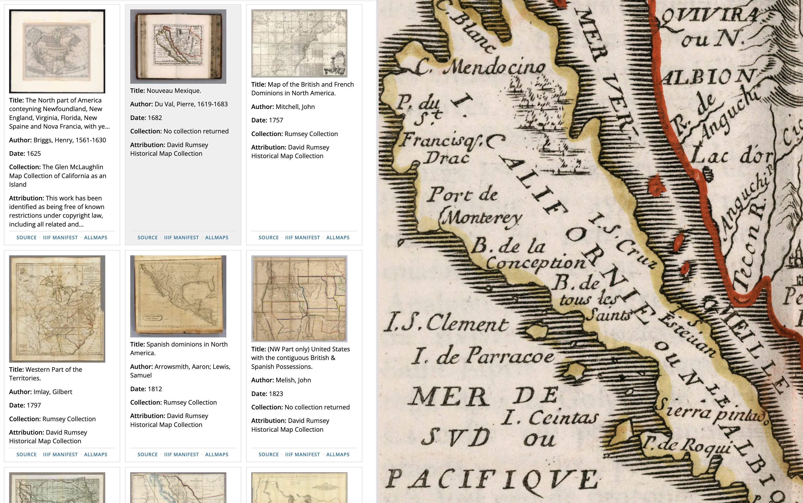
A no longer new but definitely improved IIIF Image Gallery app
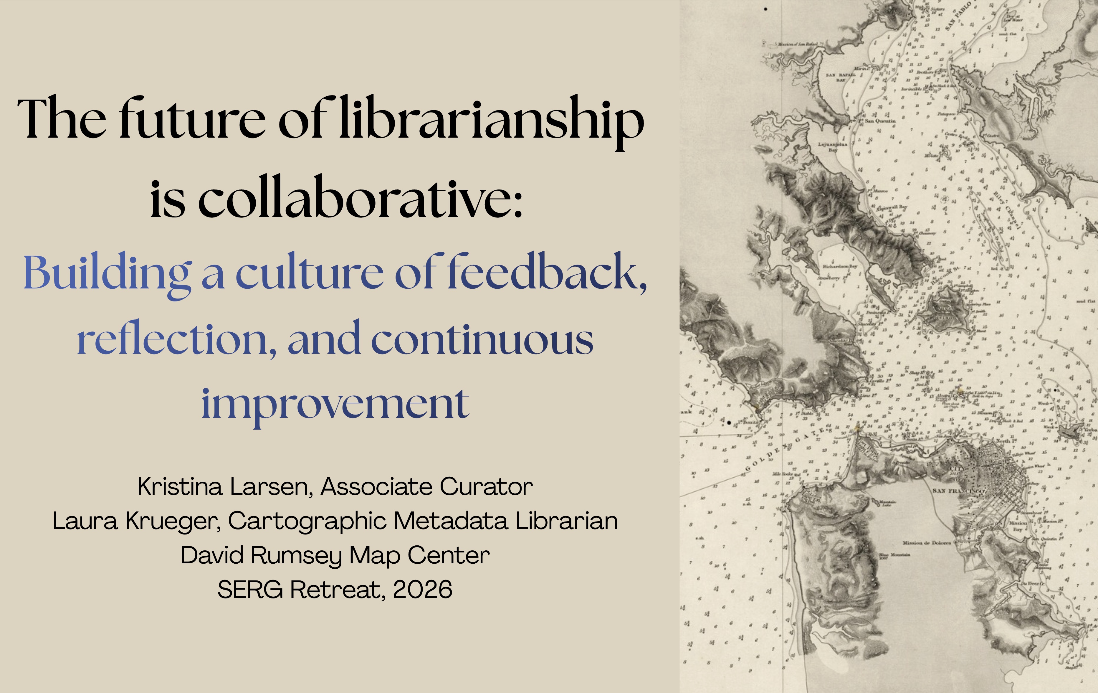
Building a culture of feedback, reflection, and continuous improvement